On-the-fly Contour Lines
Generate contour lines directly from RGB elevation tiles at runtime — no pre-baked contour mbtiles required — or draw them entirely in the fragment shader.
Added in PR #18. Two independent paths:
a vector ContourTileDataSource and shader contours on HillshadeRasterTileLayer.
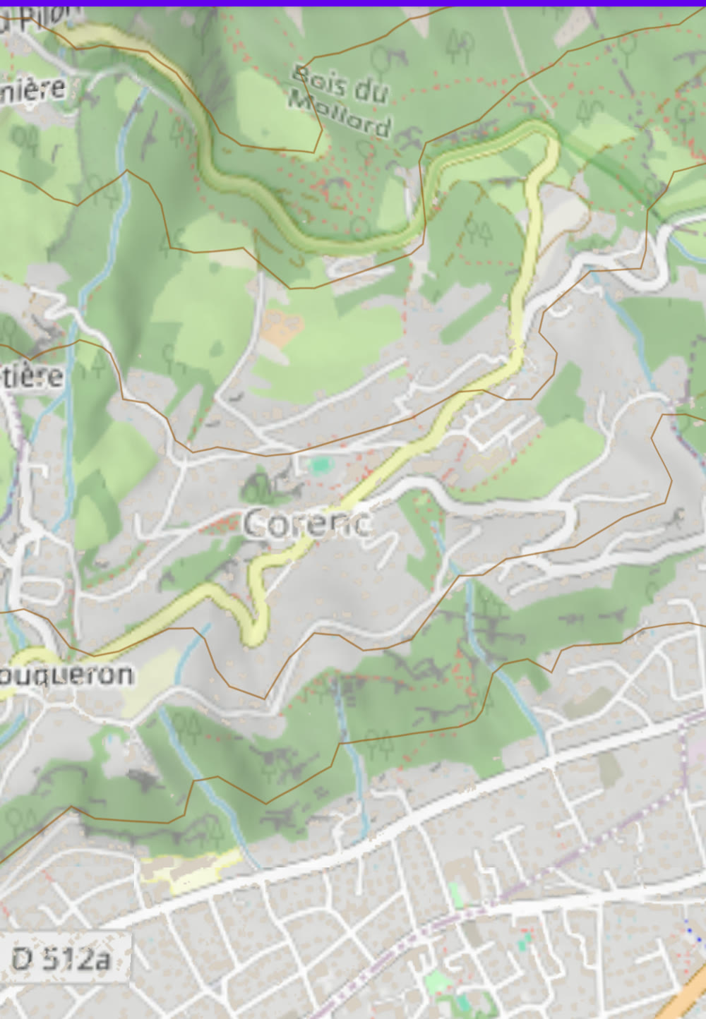
1. ContourTileDataSource — vector contours
ContourTileDataSource decorates any RGB-encoded elevation TileDataSource and produces
vector contour tiles via marching squares (stitched into polylines). It shares the
fetch/decode of the wrapped source, so there is no second download.
It emits a contour layer whose features carry:
ele— elevation in metres.div— the largest "nice" divisor of the elevation (1000 / 500 / 250 / 200 / 100 / 50 / 20 / 10), matching the classicgdal_contourpipeline. Use it in CartoCSS to emphasise index contours.
Because it is a normal vector source, it drops straight into a VectorTileLayer + CartoCSS.
import com.massifmaps.datasources.ContourTileDataSource
import com.massifmaps.datasources.HTTPTileDataSource
import com.massifmaps.layers.VectorTileLayer
import com.massifmaps.vectortiles.MBVectorTileDecoder
import com.massifmaps.styles.CompiledStyleSet

// DEM source (MapBox encoding assumed if not set).
val dem = HTTPTileDataSource(0, 12, "https://your.tiles/dem/{z}/{x}/{y}.png").apply {
    setMetaDataElement("dem_encoding", Variant("terrarium"))
}

// Contour source. The decoder is resolved per tile from "dem_encoding".
val contourSource = ContourTileDataSource(dem).apply {
    baseInterval = 100          // metres between contour lines
    resolution = 2              // DEM subsample factor (higher = coarser/faster)
    minVisibleZoom = 11
    simplifyTolerance = 1.0f
    setSeamlessEdgesEnabled(true) // fetch E/N/NE neighbours so lines meet across tiles
}

// Style the `contour` layer with your own CartoCSS.
val decoder = MBVectorTileDecoder(CompiledStyleSet(/* your .mbs/zip style */))
val contourLayer = VectorTileLayer(contourSource, decoder)
mapView.layers.add(contourLayer)
With the surface API
ContourTileDataSource has no !spec declaration, so there is no {"type": "contour"}. Build it
and adopt it — its properties, including
baseInterval, are reachable through the id afterwards:
Massif.adopt("contours-src", new ContourTileDataSource(dem));

map.addLayer("contours", Spec.of("vector")
    .set("source", "contours-src")
    .set("style", "contour-style"));

// Still a live property: change the spacing without rebuilding the layer.
Massif.source("contours-src").set("baseInterval", 50);
Example CartoCSS for the emitted contour layer (index vs intermediate lines via div):
#contour {
  line-color: #a06a3a;
  line-width: 0.7;
  [div >= 100] { line-width: 1.4; }   /* index contours thicker */
  text-name: [ele];
  text-face-name: "Regular";
  text-size: 10;
  [div >= 100] { text-placement: line; }
}
ContourTileDataSource options
| Property | Meaning |
|---|---|
BaseInterval | Metres between contour lines. |
Resolution | DEM subsample factor — higher is coarser and faster. |
MinVisibleZoom | Below this zoom, no contours are generated. |
SimplifyTolerance | Douglas–Peucker tolerance for the output polylines. |
SeamlessEdgesEnabled | Fetch E/N/NE neighbours so lines join across tile boundaries. |
LayerName | Name of the generated vector layer (default contour). |
getIntervalForZoom(z) | The effective interval used at a given zoom. |
It drapes correctly over 3D terrain — the geometry is displaced and clamped to the terrain surface.
2. Shader contours (hillshade)
For contours that never re-tesselate with zoom, draw them per fragment. The
HillshadeRasterTileLayer can render anti-aliased contour lines
straight from the elevation encoded into its normal map:
val hillshade = HillshadeRasterTileLayer(dem)
hillshade.setContourEnabled(true)
hillshade.setContourInterval(100f)          // metres
hillshade.setContourColor(Color(0xFF7A4B28.toInt()))
hillshade.setContourWidth(1.0f)
mapView.layers.add(hillshade)
- The elevation is opt-in encoded into the normal map (
normal.xyin R,G; 16-bit elevation in B,A). With contours off the output is byte-identical to plain hillshade. - Being per-fragment at a fixed metre interval, shader contours are unaffected by tile zoom — no LOD popping.
For a fully custom per-zoom or div-based contour shader, enable elevation encoding and supply
your own lighting shader; it can read getElevation() and getMapZoom():
hillshade.setElevationEncodingEnabled(true)
hillshade.setNormalMapLightingShader(myGlslShaderSource)
See Custom Raster Shaders for the general shader mechanism.
Which one should I use?
ContourTileDataSource | Shader contours | |
|---|---|---|
| Output | Real vector geometry | Fragment-shaded lines |
Labels (ele) | ✅ via CartoCSS text-name | ❌ |
| Style flexibility | Full CartoCSS | Color / width / interval (or custom shader) |
| Zoom behavior | Regenerated per zoom band | Fixed metre interval, no popping |
| Cost | CPU marching squares | GPU only |