Hillshade (Shaded Relief)
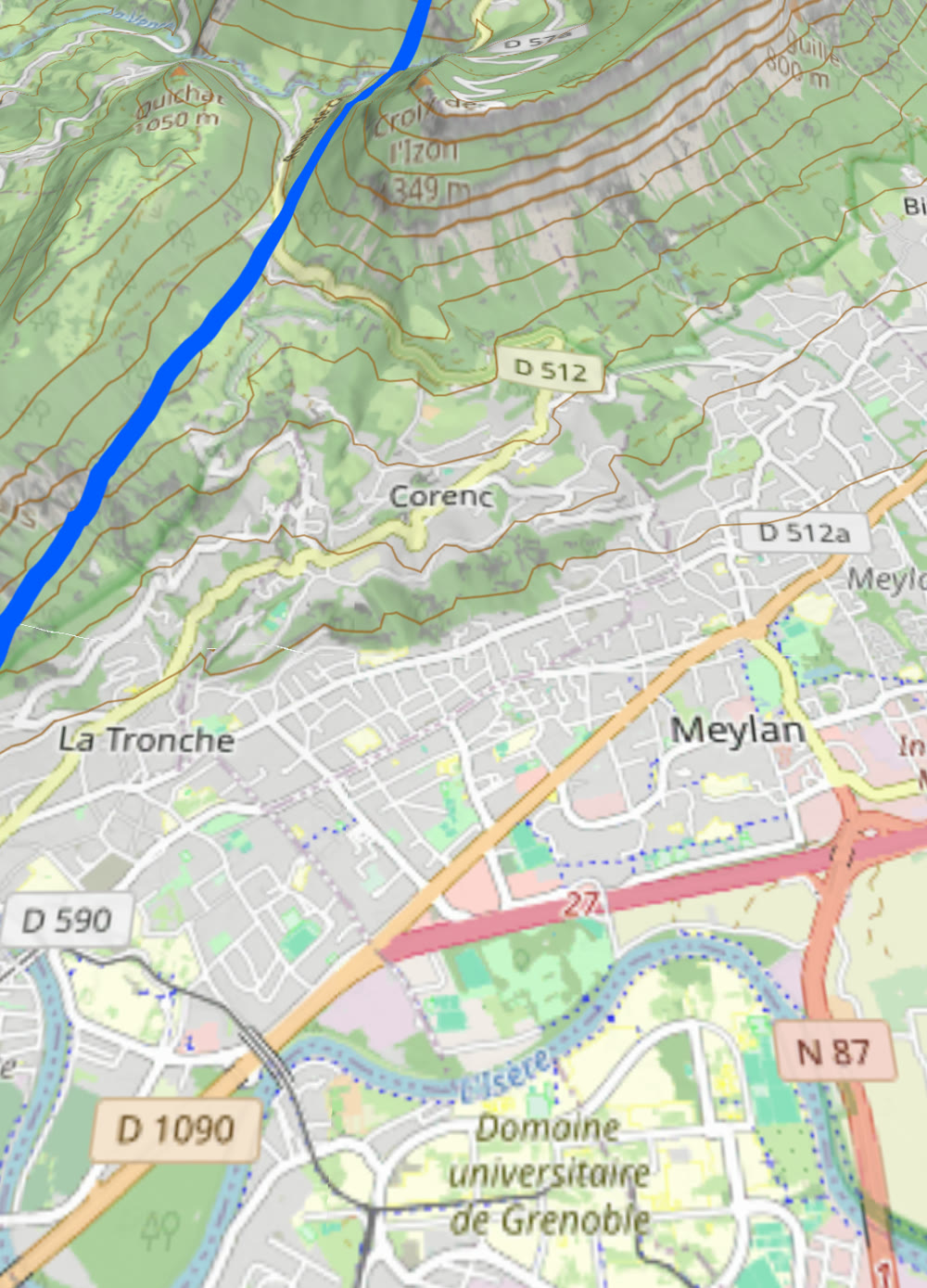
HillshadeRasterTileLayer renders shaded relief from an RGB-encoded elevation data source.
The fork extends it with multiple algorithms, smooth exaggeration, shader contours and a custom
shader base class.
Basic usage
import com.massifmaps.layers.HillshadeRasterTileLayer
import com.massifmaps.layers.HillshadeMethod
import com.massifmaps.datasources.HTTPTileDataSource

val dem = HTTPTileDataSource(0, 12, "https://your.tiles/dem/{z}/{x}/{y}.png").apply {
    setMetaDataElement("dem_encoding", Variant("terrarium"))   // or "mapbox"
}

val hillshade = HillshadeRasterTileLayer(dem).apply {
    setHillshadeMethod(HillshadeMethod.MULTIDIRECTIONAL)
    setExaggeration(1.3f)               // smooth per-frame relief factor (shader uniform)
    setIlluminationDirection(315f)      // light azimuth in degrees
}
mapView.layers.add(hillshade)
The illumination is also influenced by the main light source configured on Options.
With the surface API
Every setter below is a property, so the whole layer is one spec:
map.addLayer("hillshade", Spec.of("hillshade")
    .set("source", Spec.of("http")
        .set("url", "https://your.tiles/dem/{z}/{x}/{y}.png")
        .set("maxZoom", 12)
        // Attached to every tile the source loads; it is what picks the elevation decoder.
        .set("metaData", Spec.object().set("dem_encoding", "terrarium")))
    .set("hillshadeMethod", "HILLSHADE_METHOD_MULTIDIRECTIONAL")
    .set("exaggeration", 1.3)
    .set("contrast", 0.6));

// Animatable afterwards — a shader uniform, no re-decode.
map.layer("hillshade").set("exaggeration", 1.8);
Every property and its enum values: hillshade in the layer reference.
Hillshade methods
setHillshadeMethod(...) selects the algorithm:
| Method | Description |
|---|---|
STANDARD | MapLibre's legacy hillshade algorithm. |
COMBINED | Combined algorithm based on GDAL. |
IGOR | Igor's soft hillshade (GDAL). |
MULTIDIRECTIONAL | Multiple light sources for richer relief. |
BASIC | Basic algorithm based on GDAL. |
Appearance controls
| Setter | Purpose |
|---|---|
setExaggeration(float) | Per-frame relief factor (no re-decode). Default 1.0. |
setIlluminationDirection(float) | Light azimuth (degrees). |
setHeightScale(float) / setExagerateHeightScaleEnabled(bool) | Vertical scale of the elevation. |
setContrast(float) | Shading contrast. |
setShadowColor / setAccentColor / setHighlightColor | Tint the shadow / accent / highlight bands. |
setIlluminationMapRotationEnabled(bool) | Rotate the light with the map. |
Shader contours
The hillshade layer can also draw contour lines in the fragment shader from the same elevation — see On-the-fly Contours:
hillshade.setContourEnabled(true)
hillshade.setContourInterval(100f)
hillshade.setContourColor(Color(0xFF7A4B28.toInt()))
hillshade.setContourWidth(1.0f)
Custom lighting shader
For full control, enable elevation encoding and provide your own GLSL lighting shader (it can read
getElevation() and getMapZoom()):
hillshade.setElevationEncodingEnabled(true)
hillshade.setNormalMapLightingShader(myGlslSource)
HillshadeRasterTileLayer is a specialization of
CustomRasterTileLayer — the DEM-specific case of the
general custom-shader raster layer.
Sharing the DEM with 3D terrain
The same elevation source can drive both hillshade and 3D terrain.
Wrap it in a MemoryCacheTileDataSource so both features share tiles:
val dem = MemoryCacheTileDataSource(httpDem)
mapView.layers.add(HillshadeRasterTileLayer(dem))
mapView.options.terrainOptions = TerrainOptions(dem).apply { isEnabled = true }
You can also fold hillshade into a single style with the Composite Vector Tile Layer.