GeoJSON Vector Tiling
GeoJSONVectorTileDataSource turns app-owned GeoJSON into vector tiles a VectorTileLayer styles
with CartoCSS — so routes, tracks and result sets get the same renderer, styling and terrain draping
as the base map, instead of the VectorLayer element path.
The source exists upstream; the fork rebuilt its tiler on geojson-vt (PR #54) — a real tile pyramid instead of a per-tile scan of every feature.
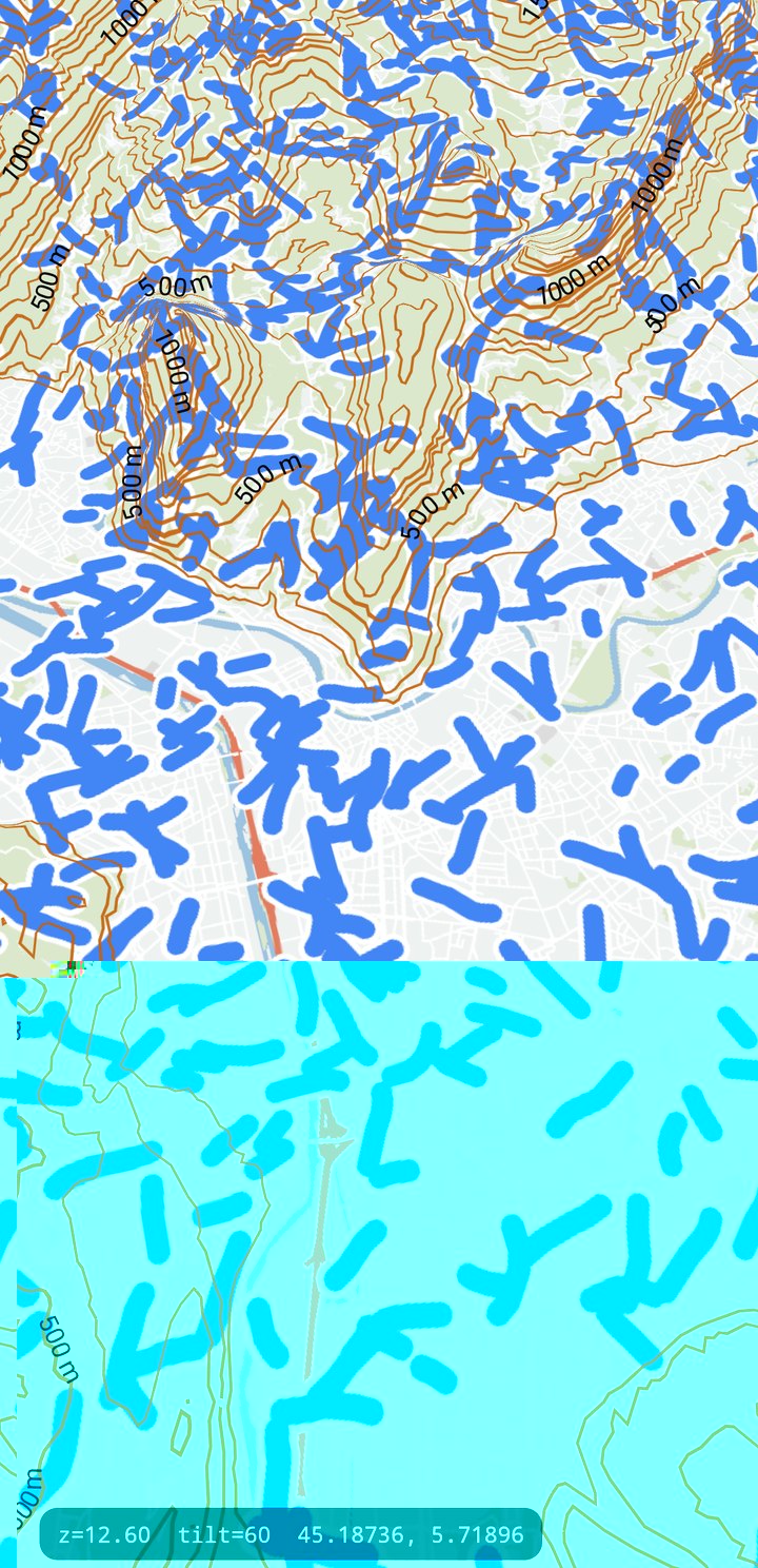
GeoJSONVectorTileDataSource, tiled at runtime and styled with CartoCSS over the base map and 3D terrain. Captured at z12.6, tilt 60.Usage
import com.massifmaps.datasources.GeoJSONVectorTileDataSource
import com.massifmaps.layers.VectorTileLayer

val source = GeoJSONVectorTileDataSource(0, 24).apply {
    simplifyTolerance = 1.0f      // tile pixels
    defaultLayerBuffer = 4f       // FRACTION of a tile, not pixels (see below)
}

val routes = source.createLayer("routes")          // returns the layer index
source.setLayerGeoJSONString(routes, geoJsonText)  // or setLayerGeoJSON(Variant) / setLayerFeatureCollection

mapView.layers.add(VectorTileLayer(source, MBVectorTileDecoder(styleSet)))
With the surface API
// The source re-tiles whatever it is given, so an update is one call rather than a rebuild.
MassifSource tour = map.source("tour-data", Spec.of("geojson").set("maxZoom", 14));
int layer = tour.createLayer("tour");
tour.setLayerGeoJSON(layer, routeGeoJson);

map.addLayer("tour", Spec.of("vector")
    .set("source", "tour-data")
    .set("style", "route-style"));
addFeature, updateFeature and removeFeature are reachable the same way, so incremental edits
need no object-API access either. Runnable, on three platforms:
the GeoJSON line example.
Style it by layer name, like any other vector source:
#routes { line-color: #3388ff; line-width: 5; line-join: round; line-cap: round; }
| Method | Does |
|---|---|
createLayer(name) / deleteLayer(index) | add / drop a named layer |
setLayerGeoJSON / setLayerGeoJSONString | replace a layer's whole content |
setLayerFeatureCollection(index, projection, collection) | replace it from SDK geometry |
addGeoJSONFeature / updateGeoJSONFeature / removeGeoJSONFeature | incremental edits (also …StringFeature) |
SimplifyTolerance | Douglas-Peucker tolerance, in tile pixels |
DefaultLayerBuffer | tile overflow, as a fraction of a tile (default 4) |
DefaultLayerBuffer is a fraction of a tile, not pixels as older doc comments said. 64 wraps
the internal uint16 to zero.
Why it changed
The old tiler scanned every feature of a layer for every tile, and kept one re-simplified copy of the dataset per zoom level. Long lines were the worst case: re-clipped from full resolution on every tile they touched. The geojson-vt pyramid clips once per level from the parent.
Measured on a device (Adreno 610), 640 tiles z8–z17:
| Dataset | Before | After |
|---|---|---|
| 8 routes of 100–250 km (303k points) | 1709 ms | 513 ms |
| 5000 short routes (165k points) | 1319 ms | 1176 ms |
Known regression, documented rather than fixed: many small features at a single zoom are 1.6× slower (209 → 328 ms over 256 tiles at z14).
Binary cost: +104 KiB on libmassif.so (arm64-v8a, stripped) — header-only template
instantiation, nothing new linked.
See also
- Navigation Maneuver Arrows — built on this source.
- 3D Terrain — tiled GeoJSON drapes with the rest of the map.